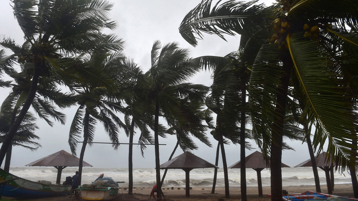
The India Meteorological Department (IMD) has issued a red alert for south Tamil Nadu and south Kerala for December 3. It also said that heavy rains will lash parts of Puducherry, Andhra Pradesh and Lakshadweep till December 4. According to the Met department, cyclonic storm Burevi will cross Sri Lanka coast close to Trincomalee on December 2 evening/night and cross south TN between Kanyakumari and Pamban on December 4 early morning. It is very likely to hit Tamil Nadu on December 4, the Cyclone Warning Division of the IMD said.
This is the second cyclone that is predicted to hit Tamil Nadu in a week. Last week, a very severe cyclonic storm, Nivar, had battered the southern state.
The IMD has has advised fishermen not to venture into South West Bay of Bengal and along and off east Sri Lanka coast from December 1 to 3; Comorin Area, Gulf of Mannar and south Tamil Nadu-Kerala & west Sri Lanka coasts from 2-4 Dec, over Lakshadweep-Maldives area and adjoining southeast Arabian Sea from December 3-4.
Burevi is unlikely to be as intense as Nivar, IMD director general Mrutunjay Mohapatra said. It is expected to first hit Sri Lanka on December 2 and then Tamil Nadu on December 4.
The Cyclone Warning Division of the IMD said a deep depression intensified into cyclonic storm Burevi on Tuesday evening. It is very likely to cross the Sri Lanka coast close to Trincomalee during the evening or night of December 2 as a cyclonic storm with a wind speed of 75-85 kilometres per hour gusting to 95 kmph, the IMD's Cyclone Warning Division said.
“It is very likely to move nearly westwards thereafter, emerging into the Gulf of Mannar and adjoining Comorin area on 3rd December morning. It would then move nearly west-southwestwards and cross south Tamil Nadu coast between Kanyakumari and Pamban around early morning of 4th December,” it said.
READ MORE: After Cyclone Nivar, another storm likely to hit Tamil Nadu

