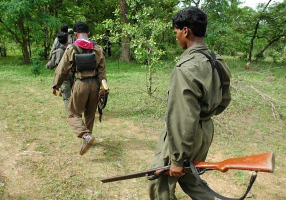
New Delhi, Oct 31 : The country's specialised snoop department, NTRO has set up its first base in a naxal hotbed in Chhattisgarh to monitor the movement of armed Maoist cadres and fly UAVs to help security forces to track them.
This key project has been operationalised with the establishment of five satellite-linked terminal stations at a designated location in the state by the National Technical Research Organisation (NTRO) with the help of paramilitary CRPF, the lead anti-naxal force with more than 75,000 troops deployed for such tasks.
Sources involved in the technical department of the base station said CRPF has now linked the operations of its ten Unmanned Aerial Vehicles (UAVs) with the new NTRO facility which will function round-the-clock.
The NTRO station will act as a gateway for acquiring satellite data and pass them on to ground patrol parties. The UAVs can then be operated in specified areas.
The centre also has the facility to analyse information about geographical features, weather, available troop reinforcements and logistics before the on-field commanders undertake an operation, they said.
The facility, which is manned by NTRO-trained CRPF ‘Signals' officials, will also share intelligence and geographical information with the NTRO headquarter in Delhi.
“The activation of the five V-SAT terminals for NTRO is expected to provide an edge to security force operations in difficult terrains where Maoist ambushes and IED blasts are a major threat to the troops. The UAVs can be given real time satellite information through the centre,” the sources said.
The Central Reserve Police Force (CRPF) had sometime back tested drones in jungles of Narayanpur district of the state and they were not only able to pick up “real-time imagery” of the movement of Naxal cadres but also could relay their conversation to the forces' control station, the sources said.
The specialised counter-Naxal force CoBRA is a key user of such data as it is mandated to undertake special operations planned after reconnaissance and analysis of best available information.
The force has also begun equipping its strike units and patrol parties with Global Positioning System (GPS) locators and satellite phones which keep alive wireless communication when radio sets and mobile phones go dead deep inside the jungles.
The CRPF field commanders have also begun using the
modern Android phones for checking coordinates of the difficult terrain and hotbeds in Naxal-hit states.

