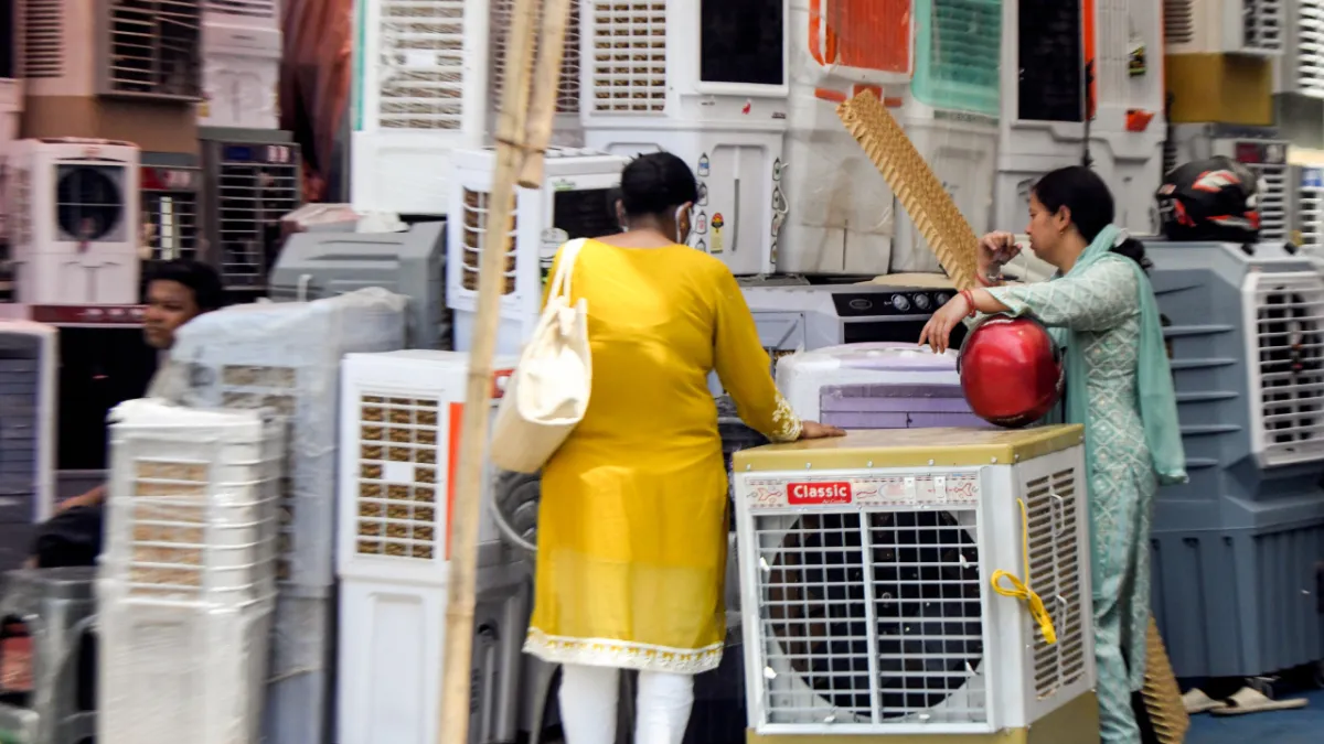
Delhi recorded intense heatwave conditions on Friday as temperatures continued to rise, with the maximum touching 41.9 degrees Celsius, 4.2 notches normal and 0.2 degrees higher than the previous day. The highest reading of 43.1°C was recorded at the Ridge station in north Delhi.
The Ridge station, along with Lodhi Road, which recorded 41.8°C, met the criteria for heatwave conditions, with temperatures above 40°C and departures from normal exceeding 4.5°C.
The India Meteorological Department has issued a yellow alert for Saturday, forecasting isolated heatwave conditions, with maximum temperatures expected to remain between 42°C and 44°C across the city. Despite dry, gusty winds reaching speeds of up to 35 km per hour, there was little relief from the heat.
No immediate relief, slight cooling likely next week
According to Mahesh Palawat, vice president at Skymet Weather, there is unlikely to be any significant relief on Saturday. However, some rainfall activity is expected across northwest India between April 26 and April 28, which may bring a marginal drop in temperatures.
This change is linked to a developing cyclonic circulation over Rajasthan, which could trigger rainfall in Punjab, Haryana and Delhi. The IMD has also forecast partly cloudy skies for Sunday, along with winds of up to 35 km per hour. Thundery activity is likely on Monday evening, with light rain expected on Tuesday and Wednesday.
Heatwave conditions across north and central India
The heatwave is not limited to Delhi, with several northern and central states experiencing extreme temperatures. The IMD has warned of heatwave conditions in Rajasthan, Madhya Pradesh, Bihar, Chhattisgarh, Vidarbha, Uttar Pradesh, Punjab, Haryana, Chandigarh and Delhi until April 27. Odisha, Jharkhand and Kerala are also likely to remain under heatwave conditions.
Temperatures are expected to rise further, with northwest and central India likely to see an increase of 2 to 3°C by April 29. Several regions, including Rajasthan, Uttar Pradesh, Madhya Pradesh, Chhattisgarh, Telangana, Andhra Pradesh, north interior Karnataka, Gujarat and Odisha, are already recording maximum temperatures between 40°C and 44°C. The highest temperature in the country was recorded at 44.5°C in Sri Ganganagar, Rajasthan.
Rain, thunderstorms forecast in northeast and other states
In contrast, parts of northeast, eastern and southern India are expected to witness rainfall and thunderstorms. States such as Assam, Meghalaya, Arunachal Pradesh, Nagaland, Manipur, Mizoram and Tripura are likely to receive rain accompanied by lightning and strong winds.
Arunachal Pradesh is expected to witness very heavy rainfall between April 25 and April 29, while Assam and Meghalaya may see heavy to very heavy rain from April 26 to April 29. Heavy rainfall is also expected in Nagaland, Manipur, Mizoram and Tripura during this period.
Rainfall activity is also forecast in Jammu and Kashmir, Uttarakhand and Himachal Pradesh between April 25 and April 30. Haryana, Chandigarh and Punjab may receive rain between April 26 and April 29, while Uttar Pradesh is likely to see rainfall between April 28 and April 30. Rajasthan may witness moderate rainfall between April 27 and April 29, with winds reaching speeds of 30 to 40 km per hour.
Some parts of Bihar and Jharkhand may also receive light rainfall over the next two days.
The IMD classifies a heatwave when the maximum temperature is at least 4.5°C above normal and exceeds 40°C, or when it reaches 45°C or more. Typically, at least two stations must meet these criteria. A heatwave is declared across Delhi only when the base station at Safdarjung is among the stations fulfilling these conditions.
