Highlights
- Bridge is being constructed in areas that've been under illegal occupation by China for 60 yrs: MEA.
- New satellite image showed China building bridge on its side of Pangong lake in eastern Ladakh.
- Armies of India, China created buffer zone in Galwan valley following deadly clashes on June 15, '20
The Ministry of External Affairs on Thursday reacted to videos that surfaced earlier of Chinese soldiers allegedly building bridges at the Galwan valley, and said that the government is observing the developments closely.
MEA spokesperson Arindam Bagchi on Thursday said that the bridge is being constructed in areas that have been under illegal occupation by China for around 60 yrs. "Govt taking steps to ensure our security interests are protected," he said.
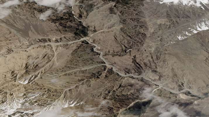
On Monday, a new satellite image showing China building a bridge on its side of the Pangong lake in eastern Ladakh emerged amid the prolonged Sino-India military standoff in the border area.
People familiar with the development said the satellite imagery is of an area on the Chinese side of the Line of Actual Control(LAC) near the Galwan valley region. The armies of India and China had created a buffer zone in Galwan valley following their deadly clashes on June 15, 2020.
ALSO READ | New satellite image shows China constructing bridge on its side of Pangong lake in Ladakh
ALSO READ | Rahul Gandhi questions PM Modi's silence over reports of China constructing bridge on Pangong Tso
