The Ministry of External Affairs (MEA) on Friday issued a clarification on the claim made by China of provioding satellite data on flood-hit regions to India to assist New Delhi for relief efforts and called it a 'standard practice'.
The MEA said that it had received setellite data related to floods from eight nations including the US, Russia and China, due to its membership of the International Charter Space and Major disasters.
"Whenever there is a natural disaster,NRSC (National Remote Sensing Centre and member) agencies of other 32 countries which are a part of Charter can activate Charter&then Charter seeks information pertaining to disaster- hit area available with all the 33 member space agencies.This is standard practice," a statement issued by MEA read.
"National Remote Sensing Center represents ISRO as member of International Charter Space and Major Disasters. By combining Earth observation assets from different space agencies, Charter allows resources to be coordinated for response," it added.
MEA further said that Under Charter (which was activated on 17 July by NRSC) so far data has been received from 8 countries. ISRO has also provided information to other space agencies in response to similar requests.
Earlier, China’s Ambassador to India Sun Weidong said the satellite data was provided after Indian Space Research Organisation’s request for international disaster relief support.
“Following ISRO’s request for international disaster relief support, China has provided India with satellite data on India’s flood-hit regions to assist its flood relief efforts,” Sun tweeted. “Hope all gets well soon.”
On July 17, India had sought international support in accordance with the International Charter on Space and Major Disasters, China’s state-run Global Times reported. The multilateral mechanism is aimed at sharing clear space-based data for countries affected by natural or man-made disasters.
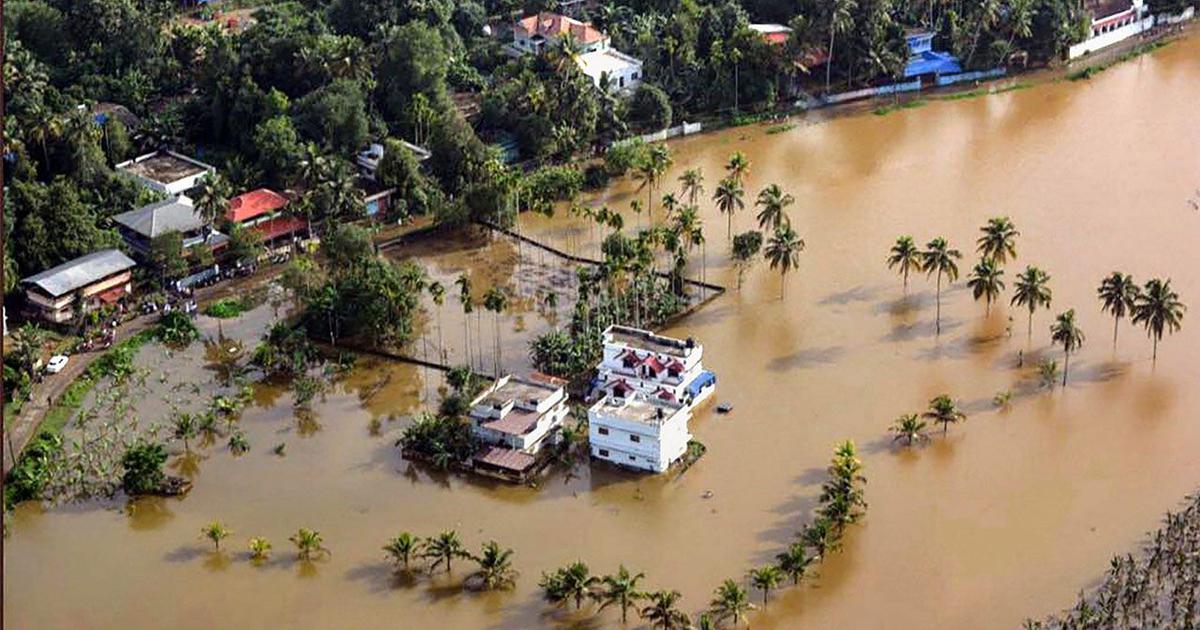
Bihar and Assam have been reeling under heavy showers since the onset of monsoons this year. With most of the districts submerged, normal life has been thrown out of gear in both the states. The collective death toll due to floods in Bihar and Assam has touched 198.
(With inputs from agencies)
ALSO READ | Flood situation worsens in Assam, Bihar as death toll nears 200; heavy rains lash Rajasthan
ALSO READ | Amitabh Bachchan donates Rs 51 lakh for Assam floods victims and appeals people to contribute generously
ALSO READ | Tripura MP Pratima Bhowmik donates first salary for Assam flood relief
