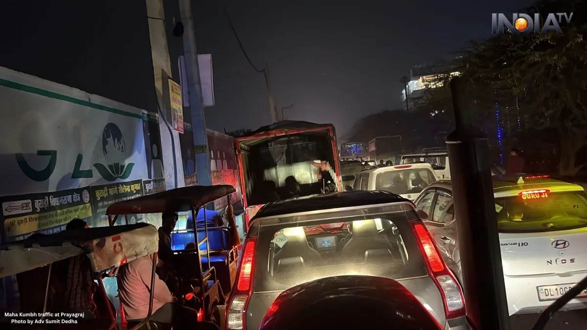
The Mahakumbh Mela in Prayagraj (formerly known as Allahabad) has invited enormous crowds all over the world. This has resulted in the world’s longest traffic jam- as a massive influx of devotees, severe congestion has been witnessed in the regions like Jabalpur-Katni-Seoni districts (Madhya Pradesh), which is adjacent to Prayagraj.
On the other hand, the Rewa-Jabalpur highway has been blocked completely, with several reports suggesting a 500-kilometre-long jam- which has been reported as one of the longest traffic jams in history.

Now, if you are planning to visit Prayagraj for the Mahakumbh Mela, you must check traffic conditions beforehand. Google Maps can help you avoid getting stuck in long traffic queues by providing real-time updates and alternative routes.
Use Google Maps to navigate traffic at Prayagraj
Google Maps are available on both Android and iOS devices. It will give you real-time traffic updates, which could monitor the congestion levels. It will further help you to find the fastest routes and estimate your travel time.
Google Maps uses a colour-coded system to indicate road conditions:
- Red denotes heavy traffic congestion. You must consider an alternative route.
- Yellow denotes moderate traffic which signals that it will have some delays.
- Green denotes clear roads and smooth travel ahead.
Get accurate traffic status with Google Maps
To check traffic updates on Google Maps:
- Open the Google Maps app.
- Enter your starting point and destination.
- Google Maps will display the best available routes along with real-time traffic updates.
- Look at the colour-coded traffic indicators on the route map.
- If your route is marked in red, switch to an alternative route for a faster journey.
Monitor diversions and road closures
Apart from showing traffic congestion, Google Maps will further provide updates related to:
- Road diversions
- Road closures
- Estimated delays to reach the Maha Kumbh
You can access these details by tapping on the square traffic icon on the app’s interface. This ensures that you stay informed and plan your travel accordingly.
ALSO READ: Apple iPhone 16 tops global smartphone sales in 2024: Market trends and more
ALSO READ: Garena Free Fire MAX Redeem Codes for February 10: Free in-game rewards