As persistent rain and thunderstorms continue to lash Delhi and its surrounding areas, the India Meteorological Department (IMD) issued a red alert for the National Capital Region (NCR) on Saturday evening. The alert indicates the possibility of severe weather conditions, including heavy rainfall and thunderstorms, over the next three hours. The IMD has updated its forecast map, predicting moderate to heavy rainfall across Delhi, South Haryana, East Rajasthan, and North Gujarat during the specified period.
Saturday afternoon saw showers across several parts of Delhi, offering a brief respite from the intense humidity that had gripped the city earlier. Rainfall was recorded in northern, central, southern, and southeastern areas of the capital. Civil Lines, Red Fort, Lajpat Nagar, Narela, Bawana, Alipur, and ITO were among the areas most affected. The IMD also warned of thunderstorms and lightning, forecasting more rain to continue into Sunday.
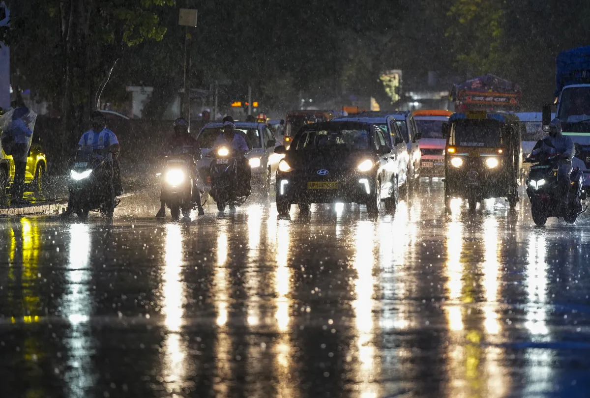
Waterlogging and traffic
The heavy rainfall resulted in waterlogging in some parts of the city, prompting the Public Works Department's flood control room to attend to nearly 10 complaints during the day. Most of these complaints were addressed within an hour, but traffic disruptions were reported, particularly in low-lying areas. Local authorities have urged commuters to avoid waterlogged roads and stay updated on weather warnings.
Temperature and Air Quality updates
Despite the heavy rains, the maximum temperature in Delhi on Saturday was recorded at 34.5 degrees Celsius, which is slightly below the seasonal average. The minimum temperature settled at 25.7 degrees Celsius, and humidity levels reached 76% by late afternoon. The air quality remained in the "satisfactory" range, with the Air Quality Index (AQI) reported at 93 by the Central Pollution Control Board (CPCB) around 6 pm
