Cyclone Kyarr has intensified to become the first Super Cyclonic storm in Arabian Sea in last 12 years. Cyclone Kyarr is now moving west-northwestwards and is likely to hit the Oman coast by October 31. According to IMD, the intensity of the supercyclone is expected to weaken today onwards.
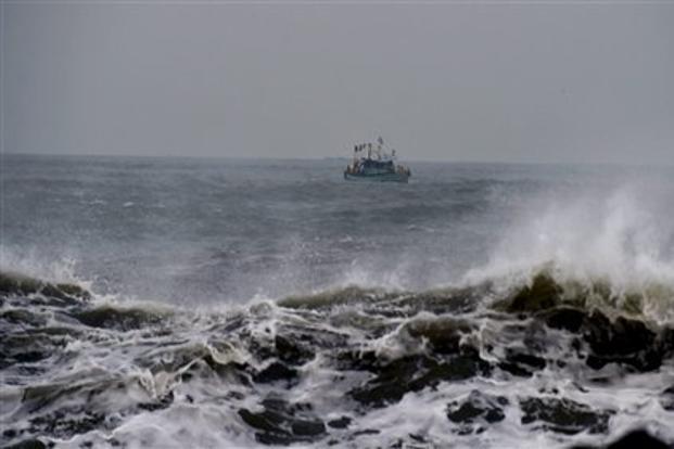
Fishermen have been warned not to venture into South West Bay of Bengal. They are advised to not go in areas of Gulf of Mannar, South Tamil Nadu coast, Maldives, Lakshadweep, South Kerala coast from October 29-31.
According to IMD, a fresh low pressure has formed over Equatorial Indian Ocean to the south of Sri Lanka on October 28 morning. It is very likely to become well marked lowe pressure area over Comorin during next 24 hours.
SkyMet Weather said there may be two cyclones in the Arabian Sea. A circulation over South West bay may induce a low pressure area. Will travel to South East Arabian Sea and may further intensify in a cyclone. Sri Lanka, south Tamil Nadu and Kerala to get heavy rains.
IMDs weather forecast for October 28
- Heavy Rainfall very likely at isolated places over Kerala & Mahe.
- Thunderstorm accompanied with lightning very likely at isolated places over Odisha.
- Squally wind, speed reaching 40-50 kmph gusting to 60 kmph, very likely to prevail over south Tamilnadu coast, Gulf of Mannar, Comorin and Maldives areas.
- Gale winds, speed reaching 230-240 kmph gusting to 265 kmph, very likely over eastcentral & adjoining westcentral Arabian Sea around the system center.
- Sea condition is very likely to phenomenal over central Arabian sea around the system center. Fishermen are advised not to venture into these areas.
IMD weather forecast for October 29
- Heavy Rainfall to very heavy rainfall very likely at isolated places over Kerala & Mahe; Heavy rainfall at isolated places over Tamilnadu, Puducherry & Karaikal and Lakshadweep.
- Squally wind, speed reaching 40-50 kmph gusting to 60 kmph, very likely to prevail over south Tamilnadu coast, Gulf of Mannar, Comorin and Maldives areas.
- Gale winds, speed reaching 190-200 kmph gusting to 220 kmph, very likely over westcentral Arabian Sea around the system center.
- Sea condition is very likely to phenomenal over central Arabian sea around the system center. Fishermen are advised not to venture into these areas.
