
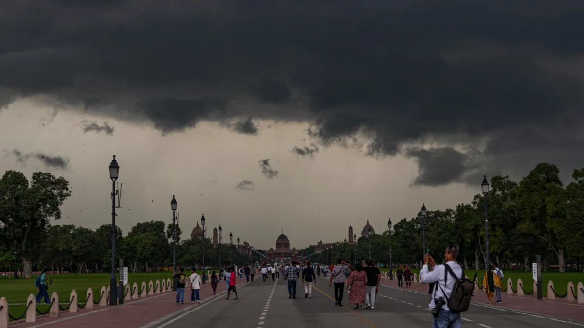
Residents in the Delhi-NCR region experienced heavy rains followed by a pleasant chill on Wednesday morning as a prevailing western disturbance continued to affect the region, bringing down temperatures and reducing visibility through the day. According to the India Meteorological Department (IMD), the rain has now likely ended, though minimum temperatures are expected to fall further.
The weather also disrupted air traffic, with around 100 flights delayed and 15 diverted from Delhi to nearby cities, officials said. Of these, eight were rerouted to Jaipur, five to Lucknow, and two to Chandigarh. A flight is considered “delayed” if it is late by 15 minutes or more.
Light showers were first recorded between 2am and 5am, followed by a more intense spell from 2.30pm to 5.30pm, as dark clouds covered the sky. IMD officials said Delhi’s minimum temperature could dip by 1–2°C from Wednesday onwards following fresh snowfall in the upper Himalayas.
In the 24 hours till 8.30am on Tuesday, Safdarjung, the city’s base station, received 12.6mm of rainfall and another 5.8mm till 5.30pm. During the same period, Palam (IGI airport) recorded 41.6mm, Lodhi Road 5.8mm, Ridge 37mm, Ayanagar 5.1mm, Pusa 22.5mm, and Mayur Vihar 20mm.
As per IMD’s classification, rainfall up to 15.5mm is “light”, between 15.6mm and 64.4mm is “moderate”, between 64.5mm and 115.5mm is “heavy”, and above 115.5mm in 24 hours is “very heavy”.
“The rain occurred due to an active western disturbance that developed as an induced low-pressure area over north Rajasthan and adjoining Haryana. An upper air cyclonic circulation extending up to 9.6 km above mean sea level is also associated with it, tilting northwestwards with height,” said an IMD official, adding that the system’s impact will subside by Wednesday.
The IMD reported visibility at Palam dropping sharply from 6,000 metres at 1.30pm to 1,200 metres by 5pm due to rain.
Following Tuesday’s spell, Safdarjung has recorded 80.5mm of rainfall so far this month—over five times the October normal of 15.1mm. Last year, the city had no rainfall in October, while it logged 5.4mm in 2023 and 128.6mm in 2022. The highest October rainfall on record remains 238.3mm in 1954.
The city has been witnessing excess rainfall since May. This May was the wettest on record, with 186.4mm against the normal 30.7mm. June saw 107.1mm, 45% above the long-period average (LPA) of 74.1mm. July recorded 259.3mm, 24% more than the LPA of 209.7mm, while August, the wettest in 15 years, saw 400.1m - 72% above the LPA of 233.1mm. September recorded 136.1mm, 10% above the normal 123.5mm.