India Meteorological Department (IMD) reports confirm intense weather activity across Himachal Pradesh over the past 24 hours, with heavy rain in lower regions and fresh snowfall blanketing higher altitudes. While temperatures fluctuated, rising in low hills and plains but dipping in mid-hills, the state dodged cold wave conditions amid thunderstorms and fierce winds. A fresh Western Disturbance looms from January 26, promising more precipitation and urging caution for residents and tourists alike.
Temperature swings: Low hills warm up, high peaks chill
Minimum temperatures climbed 2-8°C in low hills, plains, and high stations, staying 3-5°C above normal, while mid-hills cooled by 2-6°C, dipping 2-3°C below average. Maximums held steady or rose 2-6°C above normal at many spots. Tabo in Lahaul-Spiti hit the state's coldest low at -4.2°C, contrasting Neri in Hamirpur's scorching 25.4°C high.
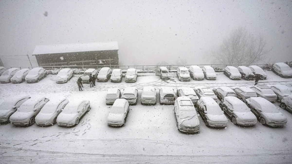
Heavy rain and snowfall transform landscapes
Significant downpours lashed Bharwain (25 mm), Amb (21 mm), Aghar (17.6 mm), Kandaghat (17 mm), Pachhad (15.3 mm), and Rajgarh (14 mm). Snow piled up in upper reaches: Kothi (15 cm), Gondla (12 cm), Kukumseri (6.8 cm), Jot (6 cm), Saloni (5 cm), Manali (4.8 cm), Keylong (4 cm), Kufri (4 cm), and Shimla (0.6 cm).
Thunderstorms and gale-force winds add drama
Isolated thunderstorms struck Sundernagar, Kangra, Shimla, Murari Devi, and Jubbarhatti. Blustery gusts peaked at Narkanda (87 kmph), Kufri (67 kmph), Seobagh (65 kmph), and Mashobra (59 kmph), heightening risks without triggering official cold-day alerts.
Forecast warns of ongoing instability and fresh disturbance
Expect isolated to scattered rain/snow over coming days, with heavy falls possible on Friday (January 23) alongside thunderstorms, lightning, and 40-50 kmph gusts. A potent Western Disturbance targets northwest India, including Himachal, from January 26, likely reigniting widespread weather chaos. IMD urges vigilance in snowy highlands and windy zones to avert mishaps.
