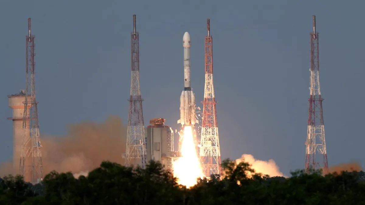
India and the United States (US) marked a major milestone in space cooperation with the successful launch of the NASA-ISRO Synthetic Aperture Radar (NISAR) satellite on July 30. Developed jointly by the National Aeronautics and Space Administration (NASA) and the Indian Space Research Organisation (ISRO) over more than 12 years, NISAR is the world’s first Earth observation mission to carry dual-frequency radar (L-band by NASA, S-band by ISRO) on a single platform, making it the most powerful radar system ever sent into Earth's orbit. The satellite was precisely injected into orbit by India’s indigenous GSLV-F16 launch vehicle, earning recognition as one of the most accurate satellite launches to date.
Dual radar power for unmatched data
NISAR’s advanced radar payloads will scan the entire globe every 12 days, using day-and-night, all-weather capabilities to capture high-resolution images that can detect even centimetre-scale changes in the Earth’s surface. Dr Paul Rosen, the project scientist for NISAR, emphasized the mission’s unique strength: “NISAR mission is an amazing watershed mission with two powerful radar systems... giving us incredible detail on the motion of the Earth, the changes in the ecosystems and the cryosphere.”
Key applications: Disaster response, agriculture, and beyond
The unprecedented level of detail and reliability of NISAR’s data will empower a spectrum of users:
Disaster management: Real-time, high-resolution imaging will help monitor earthquakes, floods, volcanic eruptions, and landslides; radar’s ability to penetrate clouds ensures reliable information during severe weather.
Agriculture and crop health: Consistent and cloud-penetrating data will advance monitoring of crop conditions, boost food security planning, and support precision agriculture in diverse climates.
Forest and resource management: Dual radar ‘vision’ enables tracking of deforestation, forest regrowth, and loss of permafrost, crucial for managing natural resources and fighting climate change.
Infrastructure and ecosystem studies: Monitoring of dams, bridges, and roads, as well as ecosystems and sea-level rise, will be enhanced, supporting both scientific and policy-making needs.

Global data, open access
Crucially, all NISAR data will be available free of charge to anyone globally—scientists, disaster-response teams, governments, and other stakeholders. Dr Sanghamitra Dutta, NASA’s Program Executive for NISAR, highlighted: “The science data will be provided free of charge to anyone in the global community, and it is up to them to utilise the data for their specific needs or purposes…”
A technical and diplomatic milestone
The $1.5 billion NISAR mission stands as both an engineering marvel and a testament to international collaboration. ISRO chairman Dr V Narayanan described it as “one of the most precise launches ever happened in the world,” spotlighting India’s growing expertise in space technology and bilateral cooperation with NASA.
NISAR will map the planet’s land and ice surfaces for a planned five years (possibly longer), revolutionising how humanity monitors and responds to natural processes, hazards, and ecological change. Dr. Rosen summed up the mission’s impact: “It’s really the first of a kind mission…providing reliable data for the global community for all kinds of applications, from disaster management to agricultural crop health, forest management, as well as many scientific endeavours.”
As a flagship of US-India space collaboration, NISAR is poised to be a global backbone for Earth science, sustainability, and disaster resilience in the years ahead.