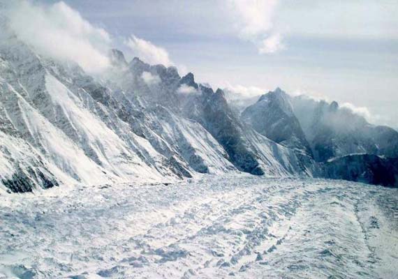
Singapore,Dec 30: Scientists have warned of more great earthquakes — of the magnitude 8 to 8.5 — in the Himalayas, especially in areas with their surface yet to be broken by a temblor.
A research team led by Nanyang Technological University (NTU) has discovered that massive earthquakes in the range of 8 to 8.5 magnitudes on the Richter scale have left clear ground scars in the central Himalayas.
This ground-breaking discovery has huge implications for the area along the front of the Himalayan Mountains, researchers said in a statement.
Paul Tapponnier, a leading neotectonics scientist, said that the existence of such devastating quakes in the past means that quakes of the same magnitude could happen again in the region in future, especially in areas which have yet to have their surface broken by a temblor.
The study showed that in 1255 and 1934, two great earthquakes ruptured the surface of the earth in the Himalayas. This runs contrary to what scientists have previously thought.
Massive earthquakes are not unknown in the Himalayas, as quakes in 1897, 1905, 1934 and 1950 all had magnitudes between 7.8 and 8.9, each causing tremendous damage.
But they were previously thought not to have broken the earth's surface - classified as blind quakes - which are much more difficult to track.
However, Mr. Tapponnier said that by combining new high resolution imagery and state-of-the-art dating techniques, they could show that the 1934 earthquake did indeed rupture the surface, breaking the ground over a length of more than 150 kilometres, essentially south of the part of the range that harbours Mount Everest.
This break formed along the main fault in Nepal that currently marks the boundary between the Indian and Asian tectonic plates - also known as the Main Frontal Thrust (MFT) fault.
Using radiocarbon dating of offset river sediments and collapsed hill-slope deposits, the researchers managed to separate several episodes of tectonic movement on this major fault and pin the dates of the two quakes, about 7 centuries apart.
Mr. Tapponnier warns that the long interval between the two recently discovered earthquake ruptures does not mean people should be complacent, thinking that there is still time before the next major earthquake happens in the region.
