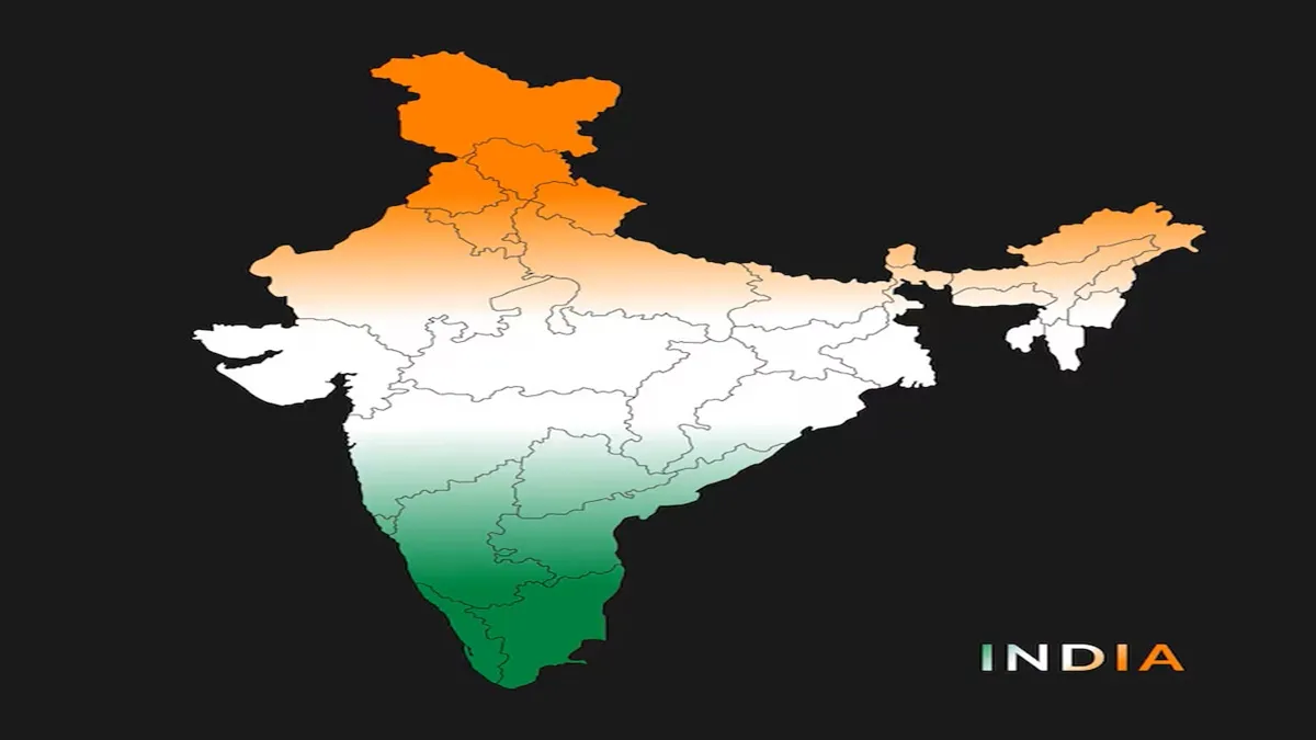
India’s journey as a united republic has been one of constant evolution, marked by political vision, linguistic aspirations, and administrative balance. Among the pivotal moments in this story was the day when India’s map took its modern shape, leading to the creation and formal recognition of eight major states- Andhra Pradesh, Chhattisgarh, Haryana, Karnataka, Kerala, Madhya Pradesh, Punjab, and Tamil Nadu (then Madras)- and five Union Territories- Andaman and Nicobar Islands, Chandigarh, Delhi, Lakshadweep, and Puducherry.
This reorganisation represented more than a geographic exercise; it was the culmination of decades of social movements, linguistic realignments, and national integration efforts that aimed to give citizens a stronger sense of identity and belonging within the Indian Union.
Linguistic movements and seeds of reorganisation
After India gained independence in 1947, the demand for statehood based on linguistic identity began sweeping across the country. The administrative map inherited from British rule no longer reflected the cultural and linguistic diversity of the new democracy. The call for political reorganisation gained momentum after the tragic death of Potti Sriramulu in 1952, following his hunger strike for a separate Andhra state for Telugu-speaking people.
His sacrifice deeply moved the nation and prompted the creation of Andhra State in 1953, setting the precedent for future linguistic reorganisations.
Reorganisation Act of 1956: A defining milestone
The demand for state boundaries that aligned with linguistic demographics led to the passage of the States Reorganisation Act on November 1, 1956. This landmark legislation came into effect the same day, redrawing India’s internal borders and triggering the formal creation or reconstitution of several states and Union Territories.
This day, now marked as a significant chapter in India’s political history, is commemorated in many regions as Formation Day or Statehood Day.
Birth of eight states
- Andhra Pradesh: Formed as the first state created on linguistic lines, merging Telugu-speaking areas from the erstwhile Hyderabad State with Andhra State.
- Chhattisgarh: Initially part of Madhya Pradesh, it emerged as a separate state in 2000 following longstanding demands for administrative focus on the tribal and mineral-rich regions.
- Haryana: Carved out of Punjab in 1966 to represent the Hindi-speaking population, it became a symbol of linguistic clarity and economic potential.
- Karnataka: Known as Mysore State until 1973, it unified Kannada-speaking areas under one administration.
- Kerala: Brought together the Malayalam-speaking regions of Travancore-Cochin and Malabar, defining a distinct cultural and linguistic identity.
- Madhya Pradesh: Reorganised to accommodate linguistic coherence among Hindi-speaking populations.
- Punjab: Post-Partition adjustments and later bifurcation led to the modern state of Punjab, distinct from Haryana and Himachal Pradesh.
- Tamil Nadu (Madras): The successor to the Madras Presidency, Tamil Nadu evolved as a Tamil-speaking state, blending cultural pride with modernisation.
Formation of five 'Union Territories'
To maintain administrative balance in strategic and distinct regions, five Union Territories were also constituted-
- Andaman and Nicobar Islands: Retained as a centrally administered territory due to its strategic maritime location.
- Chandigarh: Established as a planned city and shared capital of Punjab and Haryana.
- Delhi: Designated as the National Capital Territory to house the seat of governance.
- Lakshadweep: Formed to ensure dedicated administration for the island group’s small but culturally unique population.
- Puducherry: Incorporated from former French colonial settlements, symbolising India’s post-colonial integration.
The legacy of a redrawn India
The day India’s map was reshaped remains one of the most defining in the country’s administrative and political history. It balanced federalism with unity and allowed diverse linguistic, cultural, and regional identities to coexist harmoniously within the national framework.
Even decades later, the spirit of that historic reorganisation continues to guide India’s evolving democracy, as newer states and administrative reforms reflect the same pursuit of inclusive governance and cultural recognition that defined the reorganisation of 1956.
