
The Ministry of External Affairs (MEA) on Sunday (September 6) said India had voted in favour of a United Nations General Assembly (UNGA) resolution aimed at correcting the world map to promote a more accurate representation of continental landmasses. The resolution titled "Correct the Map: Rebalancing Global Cartographic Representation and Promoting Equitable Representation of the World's Regions, Particularly Africa" was adopted on September 4.
India warns against 'inaccurate' depiction of J-K, Ladakh
MEA also warned that the UN-initiated proposed world map must depict the Union Territories of Jammu and Kashmir and Ladakh in accordance with India's official map, and any "inaccurate" or "misleading" representation will be unacceptable.
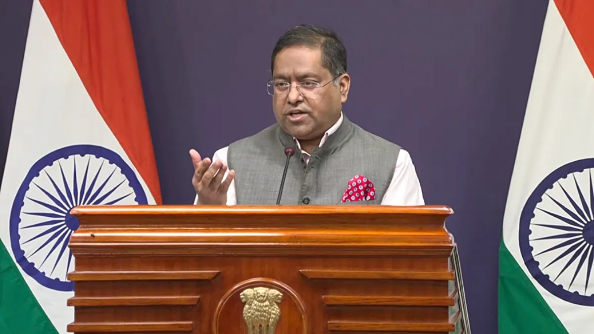
MEA spokesperson Randhir Jaiswal said India highlighted that the resolution does not constitute endorsement of any specific map, projection or depiction of national boundaries. "India voted in favour of the resolution and also made an explanation of vote stressing on the underlying principle of promoting equal - area cartographic representation," he said.
Jaiswal was responding to a media query on the issue.
"India's sovereign territory, including the Union Territories of Jammu and Kashmir and Ladakh, must be depicted in accordance with India's official map. Any inaccurate or misleading depiction is unacceptable," he added.
"Our position on India's sovereignty and territorial integrity is clear, consistent and non-negotiable," he noted.
Jaiswal said the purpose of the UN resolution is "to encourage the use of equal-area map projections that preserve the relative sizes of continental landmasses." "The resolution neither adopts nor authenticates any particular world map, nor does it address political cartography, including international boundaries, disputed territories or place names," he said.
UNGA resolution endorsing new world map
Earlier on Friday, India voted in favour of a UN General Assembly resolution seeking to promote a more accurate representation of continental landmasses on world maps.
The 193-member UN General Assembly overwhelmingly adopted the resolution, titled "Correct the Map: Rebalancing Global Cartographic Representation and Promoting Equitable Representation of the World’s Regions, Particularly Africa."
Sponsored by Togo, the resolution received 164 votes in favour, while Estonia, Georgia, Lithuania, Moldova, Serbia and Ukraine abstained. The United States was the only country to vote against it.
The resolution states that the Equal Earth map projection provides a more accurate representation of the relative sizes of continental landmasses.
(With PTI inputs)
Also Read
Asia's future depends on how India, China manage their rise: Former CDS Gen Anil Chauhan
India-China LAC talks to be held at Vacha-Damai amid tension in Arunachal Pradesh